2021. April 17.
Rövid leírás:
Drone photogrammetry has come into the focus of attention over the past decade. This technique can be used to quality monitoring of road construction as an alternative of traditional engineering surveying ones. According to recent invstigations, both accuracy and efficiency requirements can be met, however, some questions are still open.
Students are invited to take part in department projects. Major tasks might be completed by studens are:
- modelling the designed geometry based upon plans
- investigate tha major parameters of flying mission (elevation, camera obliquity, mission type, number of reference points ...)
- develop algorithms and scripts to evaluate the point cloud in a full automatic way.
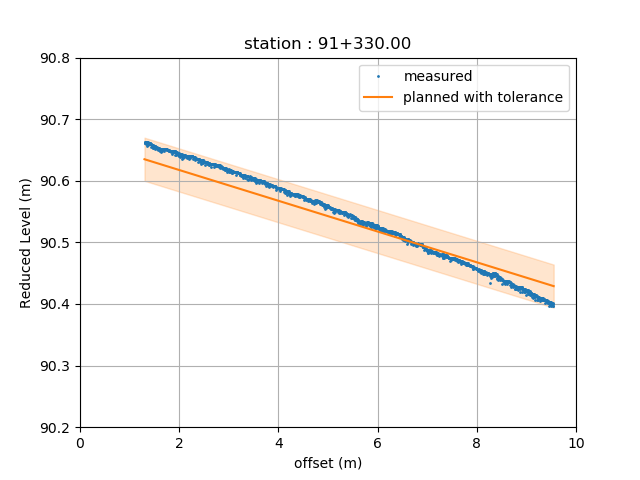
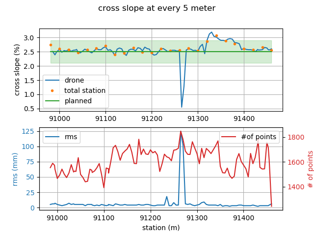
Some figures from a recent study can be seen below.


Tanszék:
Konzulens(ek):
Javasolt szint:
BSc téma
MSc téma
